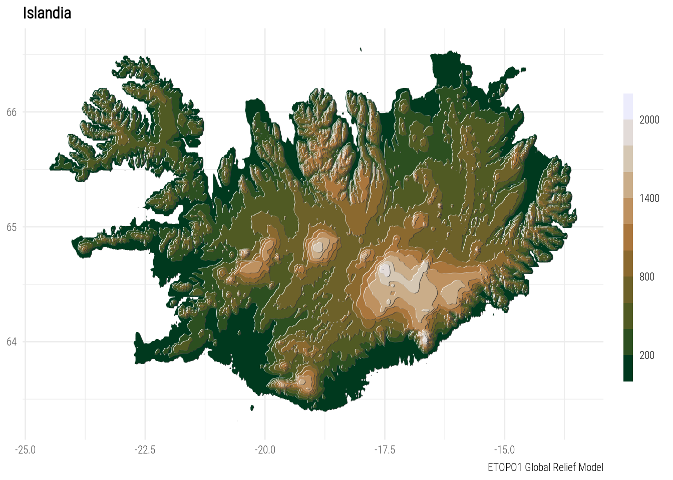
topo <- GetTopography(335, 348, 67, 63, resolution = 0.02) %>%
  .[, lon := ConvertLongitude(lon)]
ggplot(topo, aes(x = lon, y = lat)) +
  geom_contour_fill(aes(z = h, fill = after_stat(level)),  breaks = seq(0, 2500, 200)) +
  geom_contour_tanaka(aes(z = h), breaks = seq(0, 2500, 200), range = c(0.01, 0.2)) +
  scico::scale_fill_scico_d(palette = "fes", begin = 0.505,
                            labels = function(x) JumpBy(x, 3, fill = ""),
                            guide = guide_colorsteps(barwidth = 0.5,
                                                     barheight = 15)) +
  labs(x = NULL, y = NULL, fill = NULL,
       title = "Islandia",
       caption = "ETOPO1 Global Relief Model") +
  theme_minimal(base_size = 10,
                base_family = "Roboto Condensed Light") +
  theme(plot.title = element_text(face = "bold"))
# ggsave("day23.png", device = png, type = "cairo", bg = "white", width = 15, height = 10, units = "cm", dpi = 150)